GPSeismic 2011.4

Free GPSeismic® is a suite of survey, mapping, and data management applications
5 
Rating
Your vote:
Latest version:
2011.4.0 See all
Screenshots
1 / 2
Awards (1)
Show all awards
Software Informer Virus Free award
Trusted Download
Free   262 MB

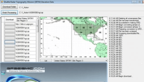
GPSeismic® is a suite of survey, mapping, and data management applications to support geophysical exploration.
GPSeismic applications offer advanced functionality to assist
the GNSS, INS, and conventional surveyor with a variety of tasks including the following:
-A wide range of both graphical, numeric and SQL based controller upload point selection methods and direct raw data file processing capabilities.
-Support for numerous survey systems with provision for import of data from any ASCII or binary file with
known structure.

Comments

5
Rating
1 vote
5 stars
1
4 stars
0
3 stars
0
2 stars
0
1 stars
0
User

Your vote:

Related software

MAGNET Field
MAGNET Field
rating

Program that helps you in collecting field measurements.

Data Transfer
Data Transfer
Free
rating

The Data Transfer software transfers data from a range of devices to your PC.

GPS Controller
GPS Controller
Free
rating

Configure your Trimble Mapping & GIS GPS receivers.

TrackLogs Digital Mapping
rating

Plan, navigate, analyse and print routes on your Windows PC.

Seismic Waves
Seismic Waves
Free
rating

It illustrates how wave propagate from an earthquake hypocenter.

Related suggestions

Radan free download

Tags

Seismic survey Gps tool Data management Survey Mapping