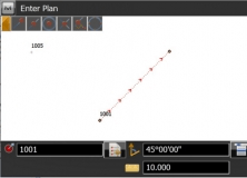
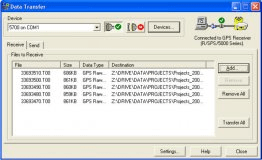
GPSeismic® is a suite of survey, mapping and data management applications. It has a wide range of both graphical, numeric and SQL based controller upload point selection methods and direct raw data file processing capabilities. Support for numerous survey systems with provision for import of data from any ASCII or binary file with known structure.
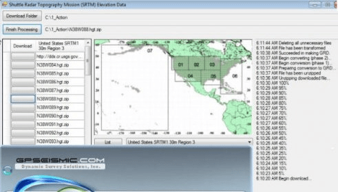
Full featured mapping capabilities including support for ESRI SHP, AutoCAD® DXF, DWG and DGN layers as well as geo-referenced raster images including TIF, JPG, BMP and PNG. A registration utility shared between applications allows for the creation of world files or the transformation of existing ones


Comments